
La Citadelle de Québec consists of several layers of fortifications that are not discernible to an eye outside the fortification. This has to do with the well-planned angle of the tops of the fortifications. Thankfully, designers said about explaining this through some graphics. While I do not have a great shot from outside the fortress of the angle, you can see some of the even slope in this photo from the top of the wall looking out towards Ville de Québec outside the city walls.
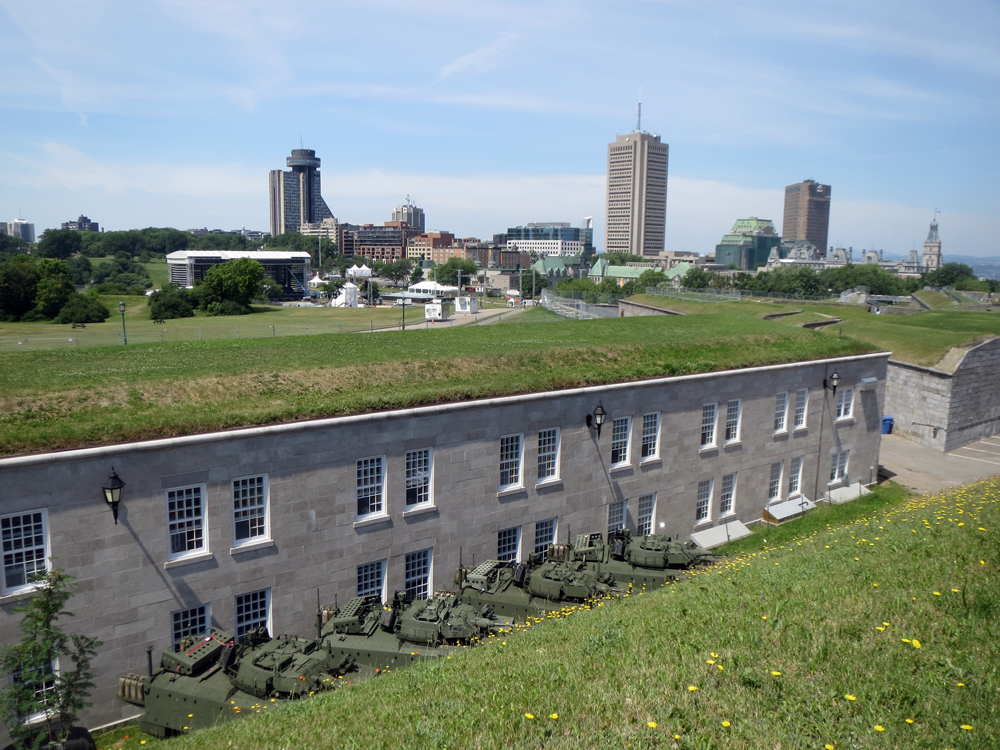
The fortification is composed of several different layers. This graphic colour codes them. For reference to the photo above, I am not standing “vous étes ici.” Rather, I am at the tip of bastion in the upper left of the diagram, just behind the pink—not red—line.

This graphic shows how la Citadelle would have been defended back in the 19th century. Note the lack of armoured vehicles as seen in the above photograph.
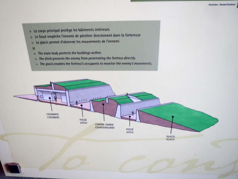
Credit for the piece goes to the design team behind the graphics.