I’m Wondering Where France Really Is

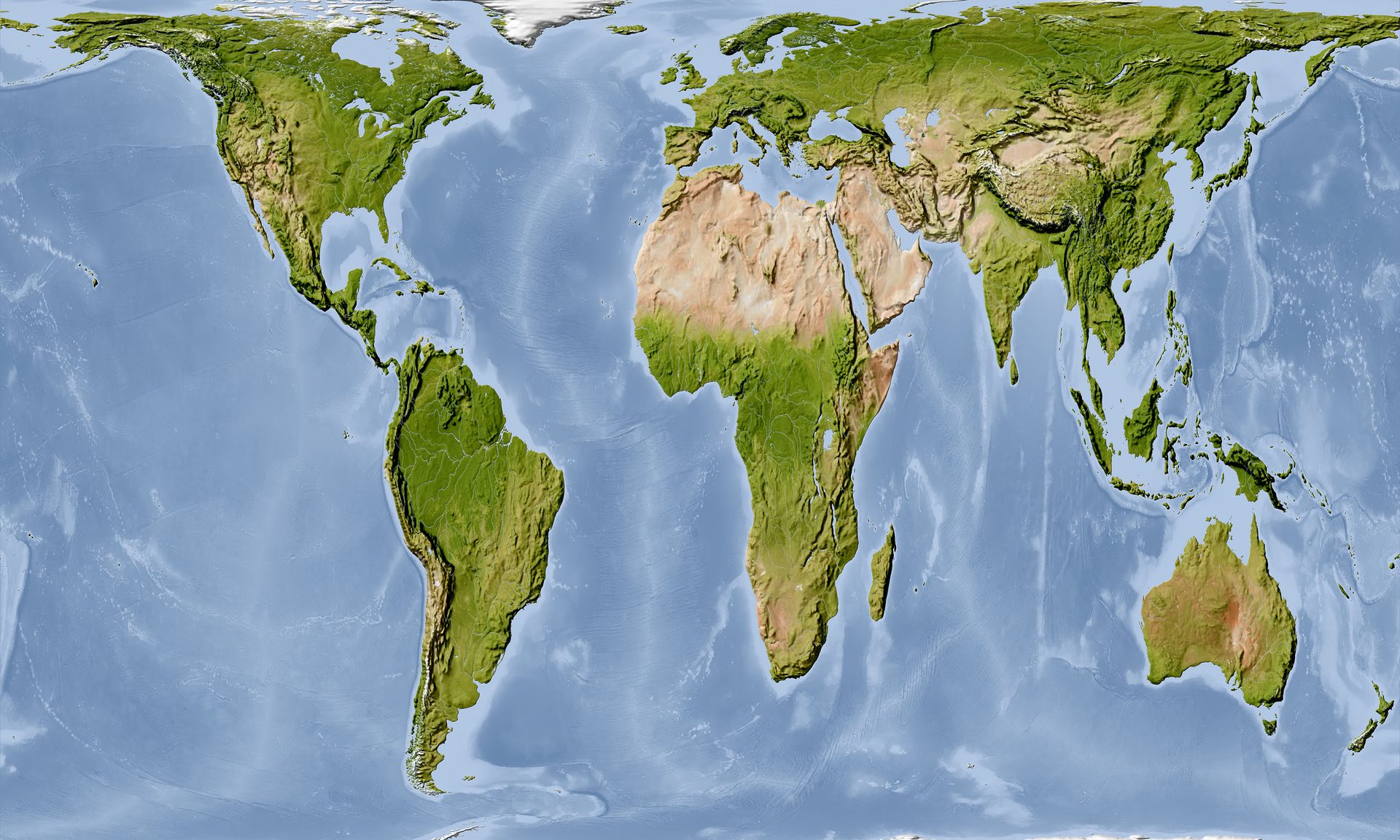
Today’s post is not so much about a graphic per se, instead I read an article in the Guardian about how Boston’s public school system has decided to switch from the Mercator map projection system to the Gall-Peters projection system.

The article is worth a read if only for the embedded clip of the episode of the West Wing where they talk about the Gall-Peters. But for those of you not familiar with map projection systems, the problem is it is impossible to perfectly reproduce a three-dimensional spheroid onto a two-dimensional flat plane. Some maps sacrifice proportions for straight lines, others sacrifice shape for area, and so on and so forth.

Seriously, where is France?

Credit for the map image goes to Alamy Stock Photo via the Guardian.

Author: Brendan Barry

I am a graphic designer who focuses on information design. My day job? Well, they asked me not to say. But to be clear, this blog is my something I do on my own time and does not represent the views of…my employers. I think what I can say is that given my interest in information design—be it in the shape of clear charts, maps, diagrams, or wayfinding systems—I am fortunate that my day job focuses on data visualisation. Outside of work, I try to stay busy with personal design work. Away from the world of design, I have become an amateur genealogist and family historian. You will sometimes see that area of work bleed into my posts.

Leave a Reply