
Dorian now speeds away from Newfoundland and into the North Atlantic. We looked at its historic intensity last week. But during that week, with all the talk of maps and Alabama, I noted to myself a map from the BBC that showed the forecast path.
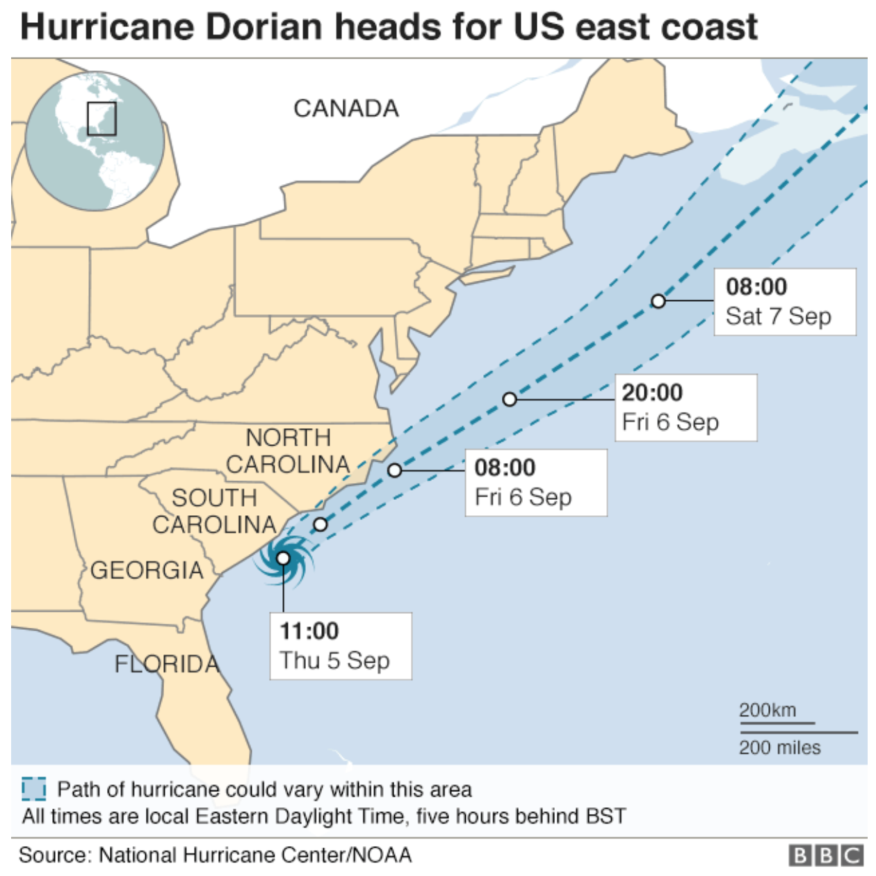
But note the state borders. New Jersey and Delaware have merged. Is it Delawarsey? And what about Maryland, Virginia, and the District of Columbia? Compare that to this map from the Guardian.
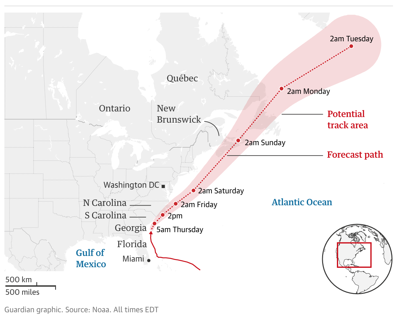
What we have are intact states. But, and it might be difficult to see at this scale, the problem may be that it appears the BBC map is using sea borders. I wonder if the Delaware Bay, which isn’t a land border, is a reason for the lack of a boundary between the two states. Similarly, is the Potomac River and its estuary the reason for a lack of a border between Virginia, Maryland, and DC?
I appreciate that land shape boundary files are easy, but they sometimes can mislead users as to actual land borders.
Credit for these pieces go the BBC graphics department and the Guardian graphics department.