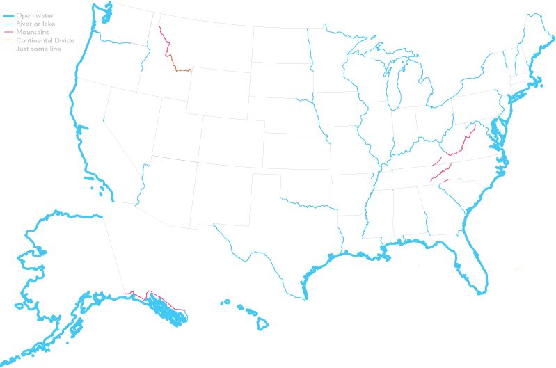
This map by Dorothy Gambrell looks at US state borders formed by natural, well, borders. None of those lines drawn by a bunch of old men wearing wigs. What I really like is how those artificial borders are drawn as a thin grey line and labelled as “just some line”.
Credit for the piece goes to Dorothy Gambrell.
Leave a Reply
You must be logged in to post a comment.