Yesterday I referenced a photo of a sign along the drive to the summit of Massachusetts’ Mt Greylock. When I finally arrived at the summit, well, there were quite a few people as the day was very pleasant. But walking about the summit I also found a few more signs. One that impressed me was the following.
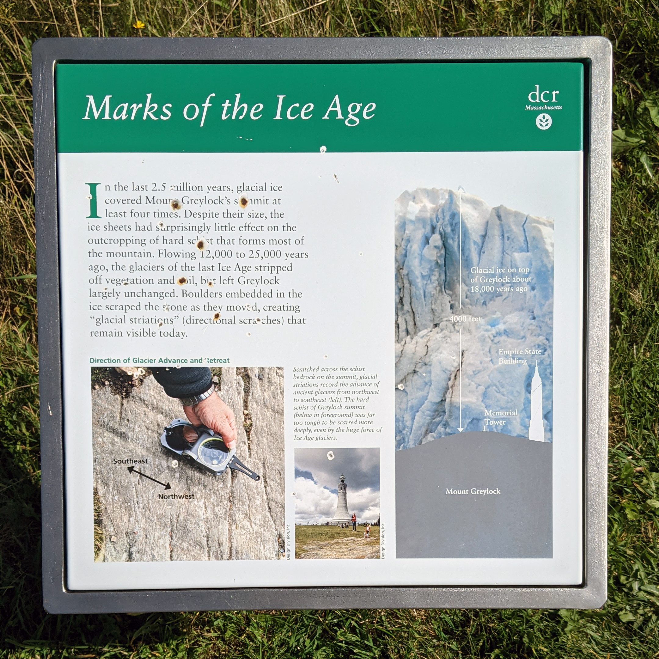
Yesterday I had mentioned how glaciers carved the geography we see today. But just how big were these glaciers? Massive. This graphic shows how high the glaciers would have been over the summit, already nearly 4,000 feet above sea level.

Naturally the silhouettes of both the Memorial Tower and Empire State Building help given additional context of just how large these glaciers were. This sign isn’t far from the tower, which just reinforces the mental image the sign creates.
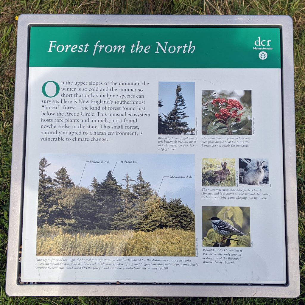
But the glaciers retreated thousands of years ago, and since then nature has reclaimed the summit. One of the things that impressed upon me was how the whole summit smelled. I grew up in a house where we frequently burned balsam fir incense and candles scented the same. Opening the car door I immediately was hit by that very same smell.
It turns out that the elevation is sufficiently high that the summit of Mt Greylock supports a sub-alpine environment, including a boreal forest, which you’d typically find near the Arctic Circle. And those kinds of forest are full of those kinds of evergreens and balsam firs. This sign detailed just that.

Credit for the piece goes to the Massachusetts Department of Conservation and Recreation (DCR) designers.

