
Last week Google announced its newest feature for Google Earth: the ability to use AI to create layers of images atop actual satellite images of Earth. Less than 24 hours later, Google abandoned those plans.
We already have enough problems with the written word and the spoken word and the broadcast word, did we really need problems with maps?
The BBC tested the new functionality and wrote about their work.
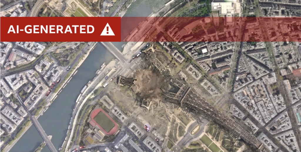
The authors, Merlyn Thomas and Paul Brown, interviewed an expert who pointed out potential misuses, for example, a nuclear power plant in Iran. We already have a president of the United States disinclined to read reports and prefers maps and images. It would not be terribly hard to imagine a supporter sending an AI-generated image of something “threatening” the United States in…let’s say Nambia…and then ordering a strike on the invented target or something real.
This gets back to the notion we have as a society have perhaps less literacy than we ought to have. That we critically think about things we see before we believe them.
AI is a tool, and a potentially useful one at that. But as I wrote the other day, AI is the informational equivalent of handing middle schoolers power tools with limited or no supervision. What could possibly go wrong?
Enough that even Google had to walk back its most recent update.
Credit for the image goes to the BBC. I guess?