I wish I had more for this post. Saturday morning’s New York Times was delivered with this on the front page, above the fold. It promised a special section including graphics that showed every building in the United States with a pullout poster of a large major city.
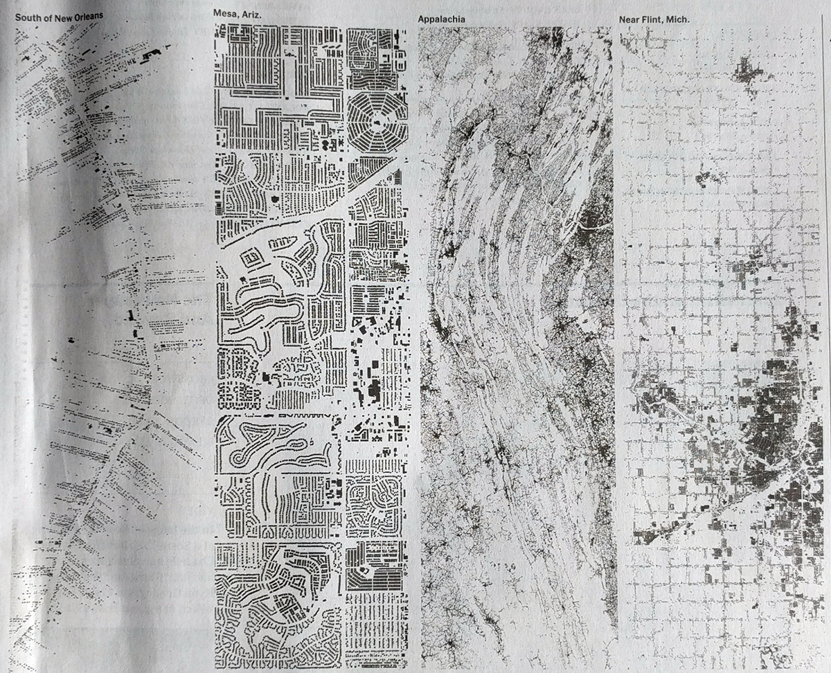
I have been through my Sunday paper twice now and cannot find the maps. So while I would love to see the full work, and then probably share a bit of it with all of you, I cannot. Instead, we can only look at the above. Even there though, you can begin to get a sense of the different types of spatial arrangements our cities exhibit.
Credit for the piece goes to the New York Times graphics department.
Leave a Reply
You must be logged in to post a comment.