On a day when I am going to be travelling across the Midwest for a holiday on Monday (hint, that means no post), what better topic than Cameron Booth’s interstate map as a subway map? Well, how about his most recent project? In it he combines both interstates, e.g. I-76, and US highways, e.g. US-30 and US-202. In his own words, though, the result becomes so complex that it is more akin to a simplified road map than a subway map. Regardless, it’s still pretty impressive.
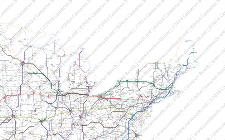
Credit for the piece goes to Cameron Booth.
Leave a Reply
You must be logged in to post a comment.