Those who know me know one of my pet peeves are when maps of the United States do not display Alaska and Hawaii. I even noted yesterday that those two states were so late of additions to the United States and it made sense as to why they were not included.
So when I was going through some old photos yesterday, I stumbled across this of a poster on the Philadelphia subway system. I had flagged it for posting, but I guess I never did.
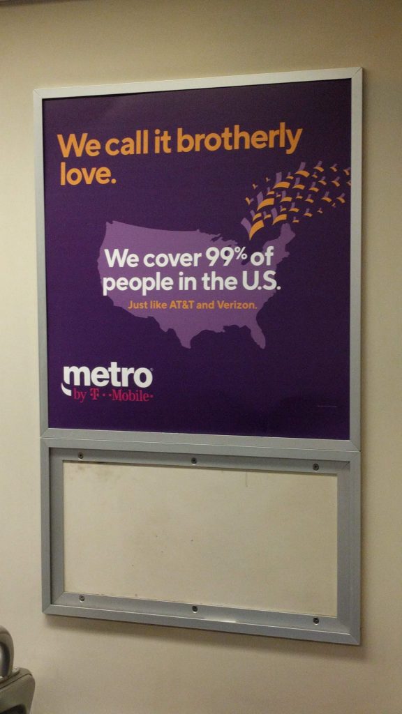
I understand this is an advert and so for creative purposes, creative liberty. And it could be that this service does not exist in either Alaska or Hawaii.
But, the statement here is that Metro covers 99% of the United States. Geographically, to do so Metro must cover Alaska because in terms of land area, Alaska comprises nearly 18% of the entire United States. Yeah, Alaska is big. Now, if you’re talking covering 99% of the people of the United States, Metro has some wiggle room. Combined, both Alaska and Hawaii comprise 0.6% of the United States population. That would still leave 0.4% of the American population not covered, and by definition that must be some part of the contiguous lower 48. But above we can see the whole map is purple.
In other words, this is not an accurate map. They should have found some way of incorporating Alaska and Hawaii.
Credit for the piece goes to Metro’s designer or design agency.
Leave a Reply
You must be logged in to post a comment.