Though the temperatures might not always feel it, at least in Philadelphia, summer is ending and autumn beginning. Consequently I wanted to share this neat little work that explores urban heat islands. Specifically, this post’s author looks at Massachusetts and starts with a screenshot of the Boston area.
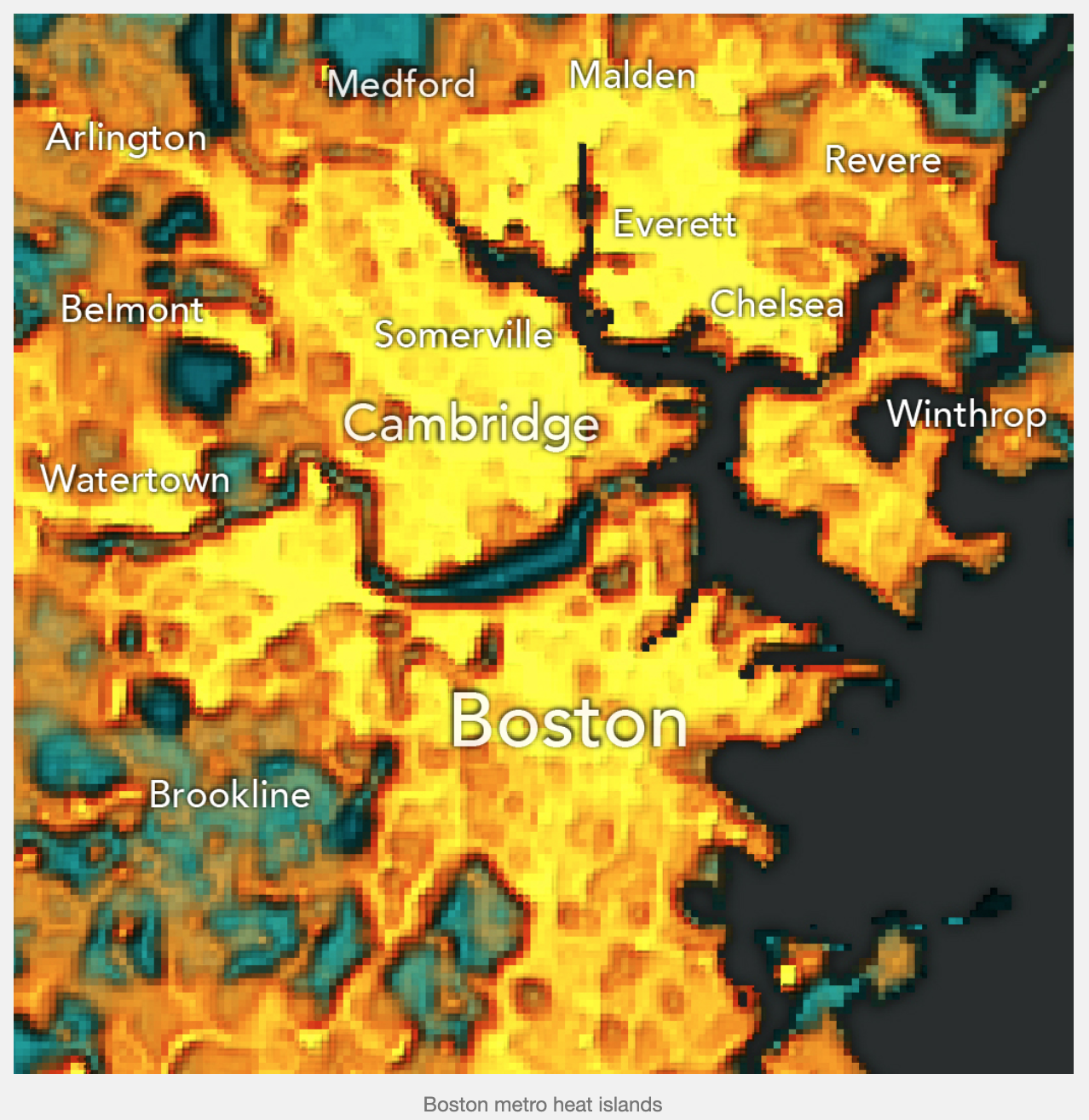
The author points out that the Boston Common and Public Garden are two areas of cool in an otherwise hot Boston. He also points out the Charles River and the divide between Boston and Brookline. I would like to add to it and point out the Fens and the Emerald Necklace.
I wonder if a scale of sorts would help, though the shift from warm yellows and reds to cooler greens and blues certainly helps differentiate between the cooler and warmer areas.
Credit for the piece goes to Krishna Karra.
Leave a Reply
You must be logged in to post a comment.