Capturing a US Navy Drone Submersible

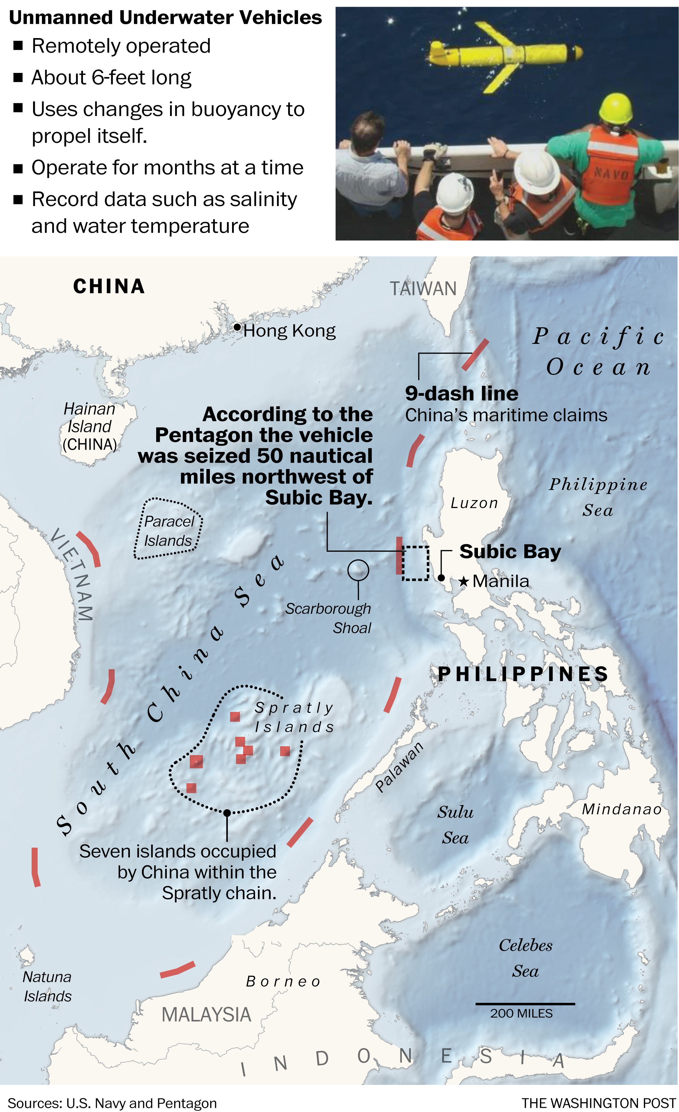
Last Friday China seized a US Navy submersible drone—like the drones the Air Force uses but for underwater purposes—in international waters off the coast of the Philippines. This graphic from the Washington Post shows how, while in international waters, the seizure occurred not far outside China’s Nine-dash Line, which they claim as territorial waters.

Where we lost our drone (to China)

Credit for the piece goes to the Washington Post graphics department.

Author: Brendan Barry

I am a graphic designer who focuses on information design. My day job? Well, they asked me not to say. But to be clear, this blog is my something I do on my own time and does not represent the views of…my employers. I think what I can say is that given my interest in information design—be it in the shape of clear charts, maps, diagrams, or wayfinding systems—I am fortunate that my day job focuses on data visualisation. Outside of work, I try to stay busy with personal design work. Away from the world of design, I have become an amateur genealogist and family historian. You will sometimes see that area of work bleed into my posts.

Leave a Reply