Yesterday we looked at the result of, but today I want to talk about covering of the French presidential election. It dovetails nicely with a recent story here in the states about Hawaii.
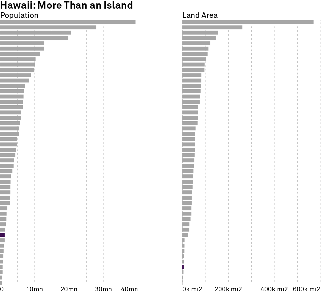
Last week Attorney General Jeff Sessions criticised a court ruling because it came from a judge “on some island in the Pacific”. That island, of course, is Oahu. Oahu is one of several islands that comprise the state of Hawaii, including the eponymous island. But it does not matter that the state is in the middle of the Pacific Ocean, it is one of the fifty states of the union. And in terms of population, it isn’t even the smallest state. Should we not care about court decisions in Wyoming because so few people live there? No, because it is one of the fifty states.

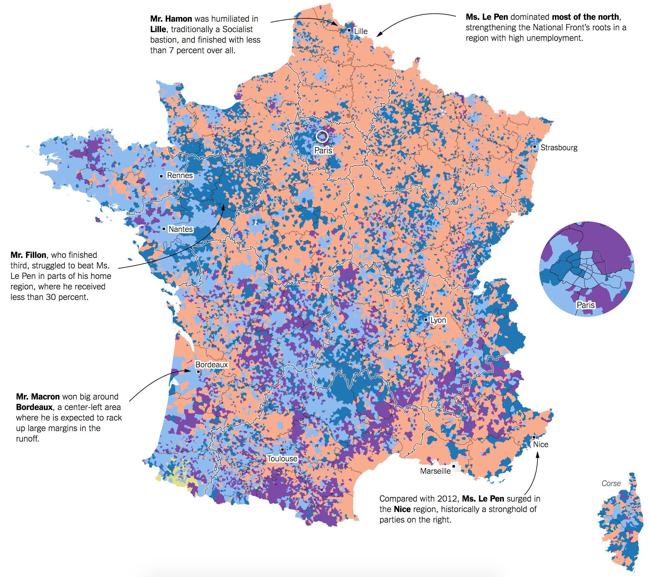
Now you are likely asking, what does that have to do with the French presidential election? Well, it has to do with choropleth maps of French results. Well, most likely you were not looking at a map of the French Republic. Take this map from the New York Times.

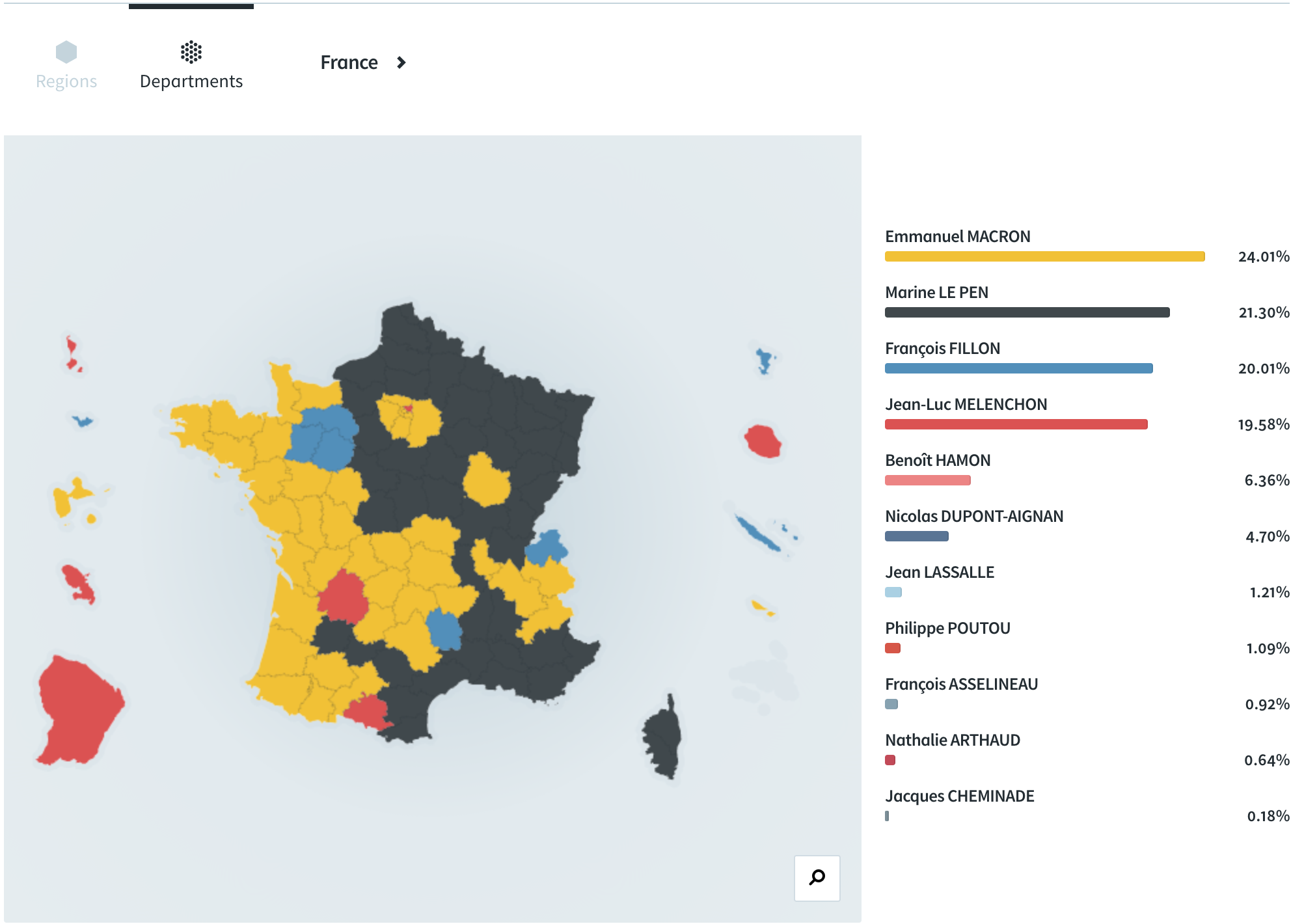
It looks like France, but it’s only a part of France. Instead, we have France 24 presenting the map correctly. The thing missing? All those little geographies around the border.

You may recall that France at one point had an empire. At home, France was organised into state-like entities called departments. By contrast, the United Kingdom had an empire with its home territories organised into counties. Then in the 20th century, both empires began to dissolve. In the UK that meant independence for most places, but others transitioned from colonies to crown dependencies, e.g. Gibraltar and until 1997 Hong Kong. But technically, they are not part of the United Kingdom. (Don’t get me started on the Isle of Man, Jersey, and Guernsey.)
In France, there were some conflicts—here’s looking at you French Indochina/Vietnam—and some independence. But for those that did gain independence, the territories took a different track from the crown dependences in the UK. France integrated them into the French Republic and made them full-on departments. (It is a little bit more complicated than that, but for now we’ll keep it simple.) So now, if you visit Canada and take a day trip to St. Pierre and Miquelon, you are stepping on France. This is also different from Puerto Rico and the United States, where Puerto Rico is not fully part of the United States.
And so what does this mean for electoral purposes? Well, as you have probably figured out, this all means that French elections are geographically broader than those of the UK or the US. Gibraltar does not vote for Parliament and so you will not see it on the June election maps. In 2016, notice how you did not see Puerto Rico in the US presidential election maps. But because of how France integrated its former colonies as departments, Cayenne, French Guiana gets as much of a say on the French president as does Paris.
So remember, next time you look at a map of France on Europe, it’s like looking at a map of the United States without Alaska and Hawaii. Because France too exists on an island in the Pacific. It’s called New Caledonia.

One thought on “When France Is More Than France”